


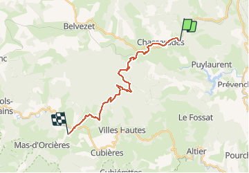

33 km | 46 km-effort


Utilisateur


Application GPS de randonnée GRATUITE
 SityTrail
IGN / Instituts géographiques
SityTrail World
Le monde est à vous
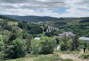
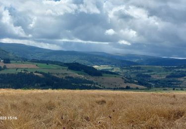
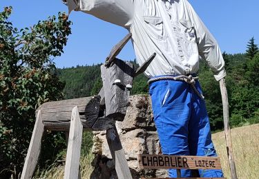
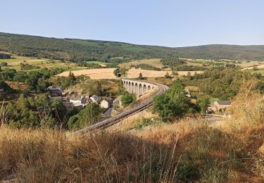
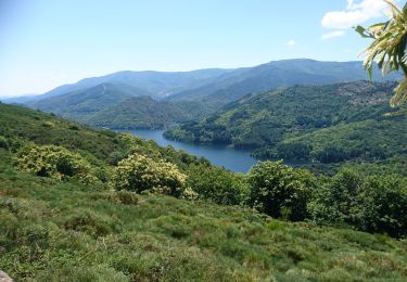
Randonnée Marche de 19,9 km à découvrir à Occitanie, Lozère, Mont Lozère et Goulet. Cette randonnée est proposée par DanielROLLET.
2020 09 19 - 08:00 à 14:15 compris arrêts dont un aux Alpiers (pique-nique au gîte)
Fortes pluies, orages et éclairs tout le trajet
Départ Chasseradès gîte les Sous-Bois de jade / Arrivée Gîte le Poulitou (Bien)

Marche
Marche
Marche
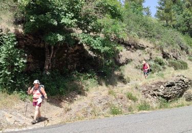
Marche
Marche
Marche
Marche
V.T.T.
Marche